SERVIR WEST AFRICA 2
The USAID/West Africa SERVIR 2 activity serves to increase the ability of local, national, and regional institutions to apply geospatial technologies and analysis to improve decision making and management of resources to improve the resilience of countries in the region, mitigate the impacts of climate
change, and ensure appropriate land use to reduce greenhouse gas emissions.
It is a five year activity working in West Africa, primarily in Burkina Faso, Niger, Ghana, Senegal, Mali and Nigeria.

It is a five year activity working in West Africa, primarily in Burkina Faso, Niger, Ghana, Senegal, Mali and Nigeria.
Relevant Nonprofit Program Categories
Obtain Full Opportunity Text:
http://grants.nih.gov/grants/guide/rfa-files/RFA-NS-21-015.html
Additional Information of Eligibility:
Eligible applicants must be academic institutions of higher learning which offer doctoral degrees in NOAA-related sciences; consortia of academic institutions of higher learning which offer doctoral degrees in NOAA-related sciences; and non-profit research institutions.
Multi-institution applications will not be accepted.
Full Opportunity Web Address:
http://grants.nih.gov/grants/guide/rfa-files/RFA-NS-21-015.html
Contact:
Agency Email Description:
USAID Email
Agency Email:
Date Posted:
2021-03-11
Application Due Date:
Archive Date:
2021-06-09
Social Entrepreneurship
Spotlight
Rwanda as Social Entrepreneur Fund Beneficiary
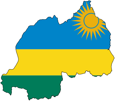
The Republic of Rwanda has been picked as one of the six African countries as beneficiaries for a new fellowship fund program designed at supporting social entrepreneurs in tackling issues on food security.
Learn How to Identify and Avoid Grant Scams